research and ideas
Monday, May 26, 2014
Tuesday, February 25, 2014
Longitudinal variation with latitude (R script)
lat = 0
long_dd_km <- 6378.145 * 2 * atan2(sqrt(cos(lat * pi/180)^2 * 7.615242e-05), sqrt(1 - cos(lat * pi/180)^2 * 7.615242e-05))
Sunday, February 23, 2014
Saturday, January 11, 2014
Monday, December 30, 2013
Thursday, December 12, 2013
Monday, November 11, 2013
INOGO reference library completed
http://inogo.stanford.edu/libraries/biblioteca-de-referencia
More than 400 hours of work over a year by a small team. A new excellent resource for documents of the Osa and Golfito region. Please contact me if you would like access to any of these documents while we work out the online downloading approach (eventually via inogo.stanford.edu).
Thursday, October 31, 2013
Sunday, June 26, 2011
Saturday, June 18, 2011
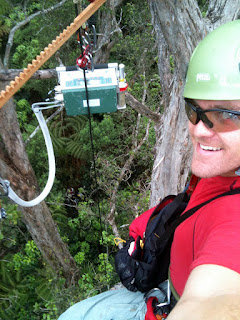
With the excellent help of Cam and Rikke we brought the two top of canopy climate towers down and calculated the final wind direction azimuths.
Carrying one of our two 15 foot tower poles out of the forest.
Rigging up for the removal of the high elevation tower.
And a final celebratory climb of a 180 ft. giant redwood. What a view of Laupahoehoe!
Friday, May 27, 2011
Tuesday, May 10, 2011
Tuesday, May 3, 2011
Friday, April 22, 2011
Friday, April 1, 2011
Excuse the delay in updates, been overwhelmed with field work, job related activities, remote sensing analysis and modeling for our Amazon project. All is moving well, here is the tally for the Hawaii project:
Canopy LiCOR days left: 3-4.
Understory LiCOR days left: 3-6.
Interior Forest Microclimate Sites left: 3-4.
Biodiversity leaf area density transects: 2-3 days.
Almost there! Wonderful, especially with the intense rains we’ve been having these last weeks.
Here are some nice panoramic photos from recent field work:
Thursday, March 3, 2011
Finished tree 4 of 20; a few weeks to go.
Received a new PAR sensor (w/ 28 m cable) to replace one that shorted out in the interior forest micro-climate array. This will also be a good opportunity to test the calibration of the other 3 interior forest sensors.
Heading to the field today to take down interior forest sensors, download top of canopy low and high elevation tower data, replace desiccant, and then perform the PAR calibration back here at the house.
Monday, February 28, 2011
Saturday, February 26, 2011
Wednesday, February 23, 2011
Friday, February 18, 2011
Thursday, February 17, 2011
Wednesday, February 9, 2011
Monday, February 7, 2011
car full of gear for canopy licoring.
angelica and I heading out for the first load.
stacks of gear, including our climbing equipment and safety gear and hanging chair for long canopy sessions.
Ready to go!
Stack of climbing and LiCORing gear ready to go.
Angelica and Kai leading up georeferencing operations on the ground.
Collecting our 4th curve set!


