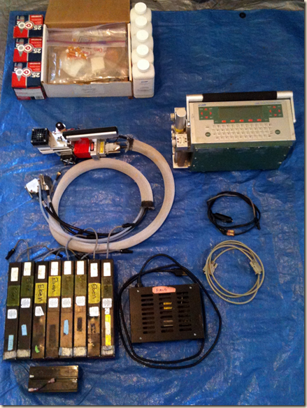
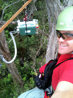
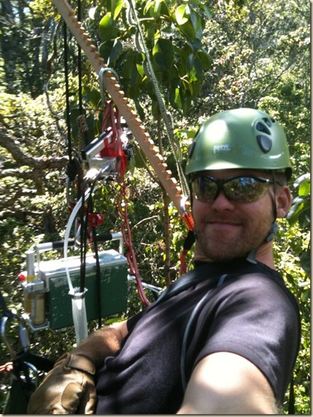
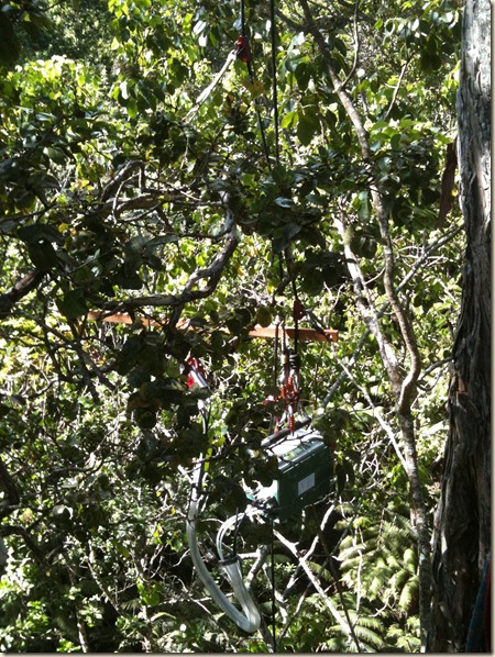
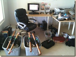
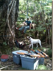
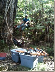
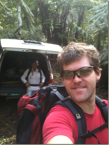
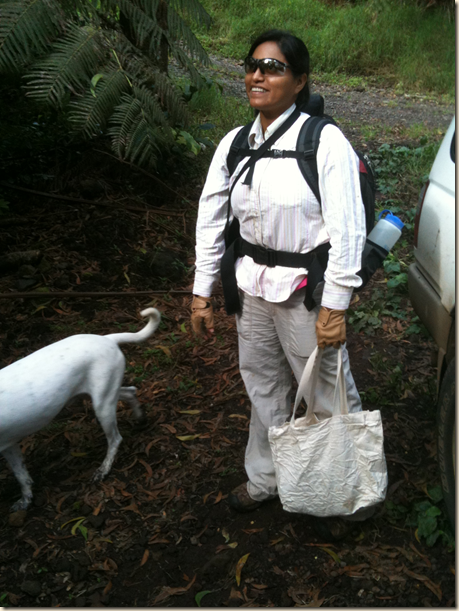
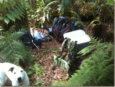
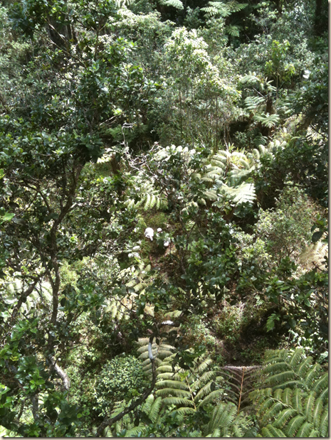
After a few challenging - but productive - years, the LiCOR has returned to its home at Carnegie. Long live the LiCOR!
Sunday, June 26, 2011
Saturday, June 18, 2011
With the excellent help of Cam and Rikke we brought the two top of canopy climate towers down and calculated the final wind direction azimuths.
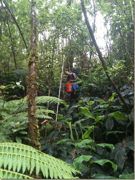
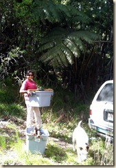
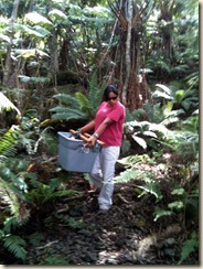
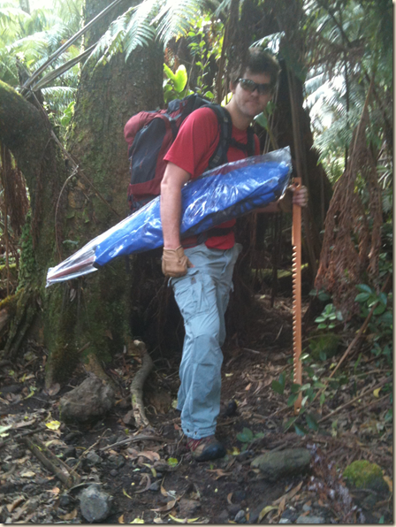
Carrying one of our two 15 foot tower poles out of the forest.
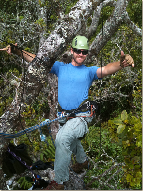
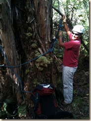
Rigging up for the removal of the high elevation tower.
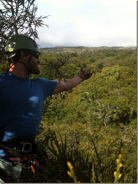
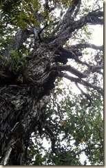
And a final celebratory climb of a 180 ft. giant redwood. What a view of Laupahoehoe!
Friday, May 27, 2011
Tuesday, May 10, 2011
Tuesday, May 3, 2011
Friday, April 22, 2011
Friday, April 1, 2011
Excuse the delay in updates, been overwhelmed with field work, job related activities, remote sensing analysis and modeling for our Amazon project. All is moving well, here is the tally for the Hawaii project:
Canopy LiCOR days left: 3-4.
Understory LiCOR days left: 3-6.
Interior Forest Microclimate Sites left: 3-4.
Biodiversity leaf area density transects: 2-3 days.
Almost there! Wonderful, especially with the intense rains we’ve been having these last weeks.
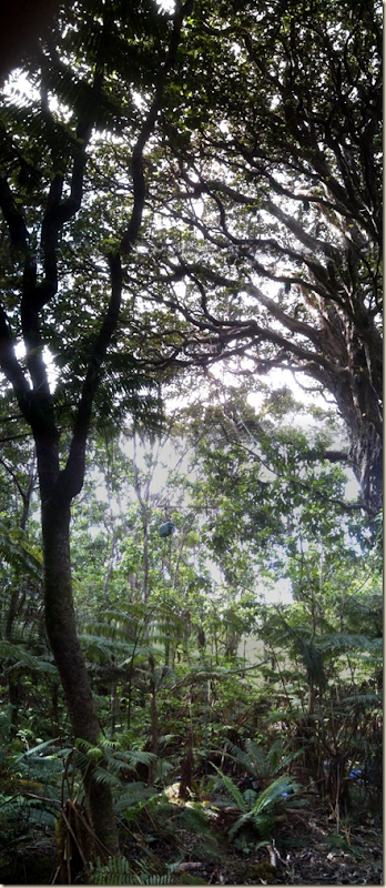
Here are some nice panoramic photos from recent field work:
Thursday, March 3, 2011
Finished tree 4 of 20; a few weeks to go.
Received a new PAR sensor (w/ 28 m cable) to replace one that shorted out in the interior forest micro-climate array. This will also be a good opportunity to test the calibration of the other 3 interior forest sensors.
Heading to the field today to take down interior forest sensors, download top of canopy low and high elevation tower data, replace desiccant, and then perform the PAR calibration back here at the house.
Monday, February 28, 2011
Saturday, February 26, 2011
Wednesday, February 23, 2011
Friday, February 18, 2011
Thursday, February 17, 2011
Wednesday, February 9, 2011
Monday, February 7, 2011
car full of gear for canopy licoring.
angelica and I heading out for the first load.
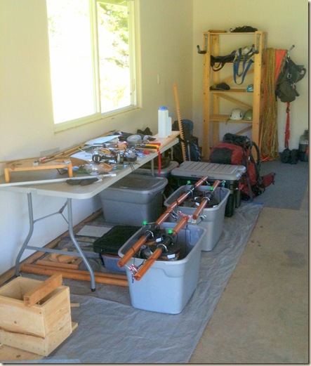
stacks of gear, including our climbing equipment and safety gear and hanging chair for long canopy sessions.
Ready to go!
Stack of climbing and LiCORing gear ready to go.
Angelica and Kai leading up georeferencing operations on the ground.
Collecting our 4th curve set!
Saturday, February 5, 2011
one failed but interesting approach to classifying images using hierarchical trees.
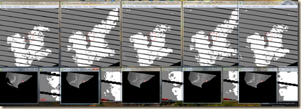
Multi image stacking that’s been driving me crazy these last weeks. Just completed the first mosaic, 2008, comprised of ~30 images, yes! Running a despeckling program in IDL, hope it looks good.
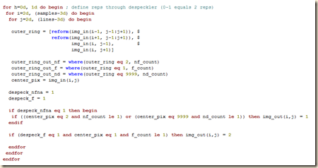
Here is an example of the core of the despeckler procedure:
I’ve been planning to optimize it to run without the use of for loops, however at the moment this is just not necessary given we only have 3 mosaics to run (but it would go from 30 minutes processing time to probably around 30 seconds!).
Wednesday, February 2, 2011
Tuesday, February 1, 2011
02/01/11
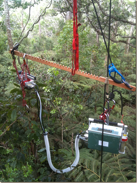
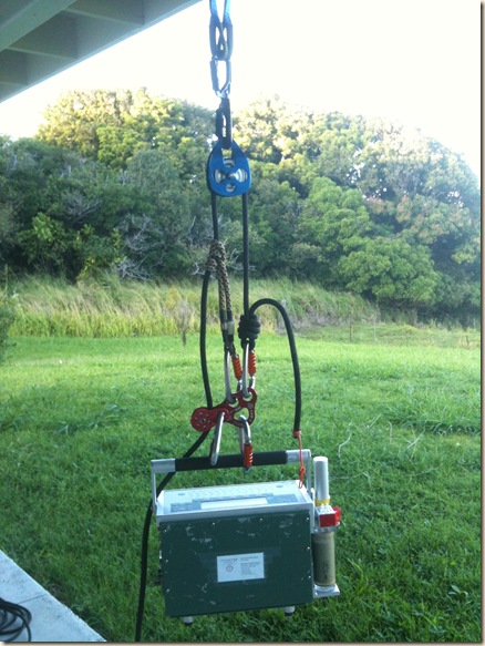
System for canopy LiCOR measurements. Allows for ground based assistants to lift the LiCOR into the canopy, then fine adjustments via the climber.
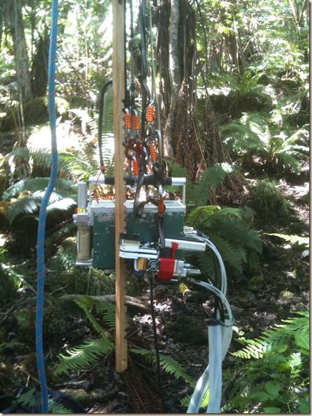
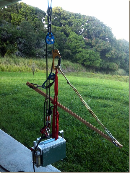
System now including the extension for the cuvette head. This version will be cleaned prior to starting measurements on Wed or Thur. I’ll post a photo of the final cleaned setup before we head out.
Thursday, January 27, 2011
01/27/11
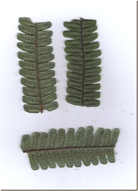
Close up of fern fronds used for LiCOR 6400 analyses. These are scanned at 600 dpi and used for area calculation prior to drying and lab analysis.
